Geowita. Geodetic Services
We offer a wide range of geodetic services
We have experience in executing projects for both individual clients and companies and institutions. Our goal is to provide reliable and precise measurements, which form the basis for safe and proper investment management.
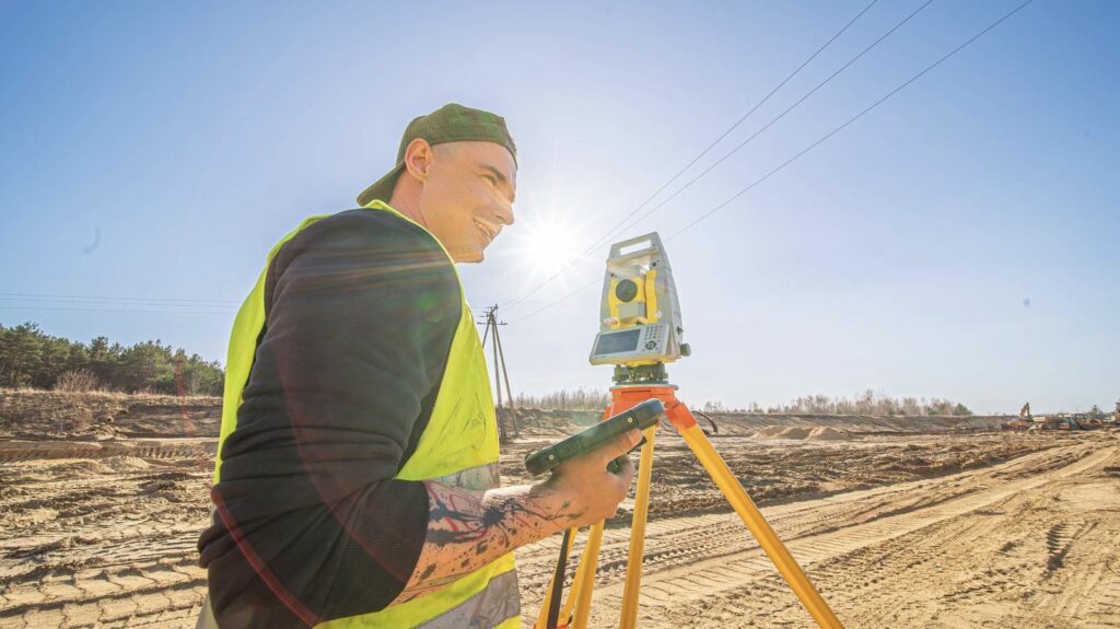
Why it is worth choosing our company
✔ professional measuring equipment
✔ fast delivery times
✔ individual approach to the client
✔ competitive prices
We focus on quality, accuracy and good communication with the client at every stage of the order.
When is a surveyor needed?
Surveying services are necessary in the following cases, among others:
the start of building a house
project design of investments
division of the plot
determination of the boundaries of real estate
odbioru budynku po zakończeniu budowy
The surveyor ensures the correct designation of investment elements and compliance with the design documentation.
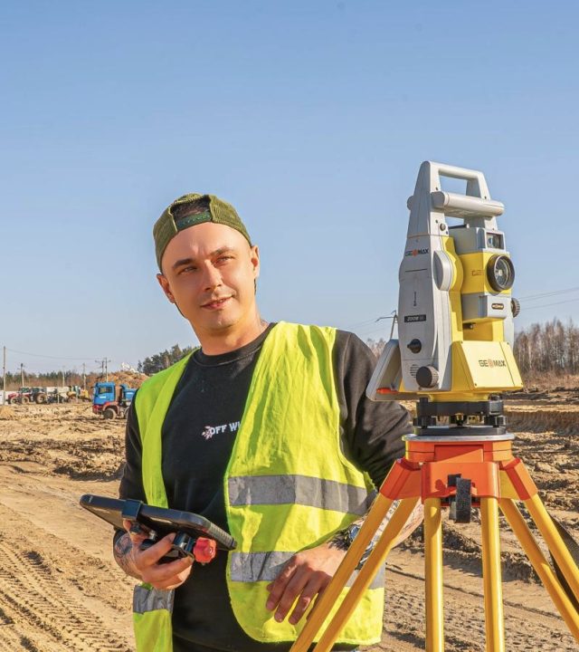
The scope of our services covers the entire Poland
We carry out advanced surveying projects throughout Poland, supporting clients at every stage of the process – from the first administrative formalities to the finalization of fieldwork and studies.
We provide comprehensive investment services using modern technologies such as photogrammetry and 3D scanning, guaranteeing the highest precision and reliability of our work.
We operate in the largest urban centers in the country, servicing both private investments and development and infrastructure projects:
Warszawa, Kraków, Łódź, Wrocław, Poznań, Gdańsk, Szczecin, Bydgoszcz, Lublin, Katowice, Białystok, Gdynia, Częstochowa, Radom, Toruń, Rzeszów, Kielce, Olsztyn.
See surveying services in Radom
Support at every stage of the investment
Frequently asked questions - FAQ
What do surveying services involve?
Surveying services include field measurements, preparing maps for design purposes, staking out buildings, and conducting as-built inventories. A surveyor also assists with plot divisions and documentation required for construction projects.
What surveying services do you provide in Radom and the surrounding area?
Realizujemy kompleksowe usługi geodezyjne w Radomiu oraz okolicznych miejscowościach. Wykonujemy m.in. mapy do celów projektowych, tyczenie budynków, podziały nieruchomości, wznowienia granic oraz inwentaryzacje powykonawcze. Szczegółowy zakres prac znajdziesz na stronie: Geodetic services in Radom.
How much do geodetic services cost?
The cost of surveying services depends on the type of project, the size of the plot, and the scope of work. Each quote is prepared individually, ensuring that the client receives accurate cost information before the project begins.
When is a surveyor needed?
A surveyor is needed for a variety of purposes, including building a house, dividing a plot of land, determining property boundaries, and preparing maps for a construction project. Surveying services are also required for building inspections.
What is a map for design purposes?
A design map is a document prepared by a surveyor and essential for creating a construction design. It contains current data regarding the plot, utilities, and the investment's surroundings.
How long does the execution of geodetic services take?
The turnaround time for surveying services depends on the type of work and official procedures. Simple measurements can be completed in a few days, while more complex projects require more time.
Do you perform building staking?
Yes, we perform staking of buildings and other construction projects according to the design. This is one of the most important steps before construction begins.
Are surveying services required when dividing a plot?
Yes, the division of real estate requires the participation of an authorized surveyor. We prepare full documentation and carry out the entire process in accordance with applicable regulations.
How to prepare for a surveyor's visit?
It's important to prepare property-related documents, such as plot numbers, maps, or construction plans. This will allow surveying services to be performed more quickly and efficiently.
Why is it worth choosing professional geodetic services?
Professional surveying services guarantee accurate measurements, documentation compliance with regulations, and efficient project implementation. Working with an experienced surveyor helps avoid construction problems and administrative formalities.