About the company Geowita
How we work and what sets us apart
Our mission is to provide surveying services of the highest standard, while maintaining complete measurement accuracy and timely completion. We approach each project individually, tailoring the scope of work to the project's needs and client expectations. Furthermore, we ensure transparent communication, offer professional advice, and ensure efficient handling of surveying formalities.
We utilize modern measurement technologies in our work, allowing us to complete orders quickly and with exceptional precision. At the same time, thanks to our extensive experience and knowledge of government procedures, we are able to effectively guide clients through the entire surveying process – from field measurements to the preparation of complete documentation.
Experience and professional approach
We have experience in providing a variety of surveying services, from design maps and building staking to property divisions and post-construction inventories. We complete each assignment in accordance with applicable surveying standards and documentation requirements.
We provide professional advice at every stage of the investment process, ensuring full client support. We help select the appropriate surveying service, explain procedures, and provide additional support in contacting relevant authorities. As a result, we prioritize reliability, timeliness, and high-quality survey results.

Accuracy and precision of measurements
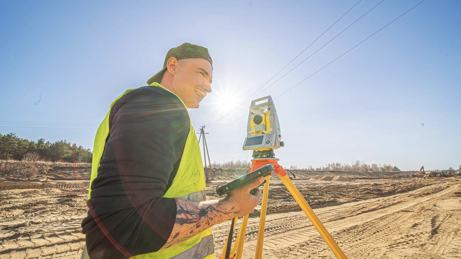
The accuracy of surveying measurements is crucial to the successful implementation of any investment. Therefore, all work is performed with the utmost precision and in accordance with applicable surveying standards. Furthermore, each field measurement is additionally verified, and the resulting documentation is prepared with due diligence.
Precise surveying helps avoid problems both during the construction phase and during subsequent project acceptance. Therefore, we ensure that the maps, staking out, and inventories we provide meet the requirements of designers, construction managers, and relevant authorities.
Modern surveying equipment
When providing surveying services, we utilize modern measurement equipment that enables fast, yet highly accurate field measurements. We work with GPS receivers, electronic tachymeters, and professional software to process measurement results.
Modern surveying technologies allow us to complete projects faster while maintaining high accuracy. This allows us to provide our clients not only with reliable surveying documentation but also with efficient management of the entire investment process.

Individual approach to the client
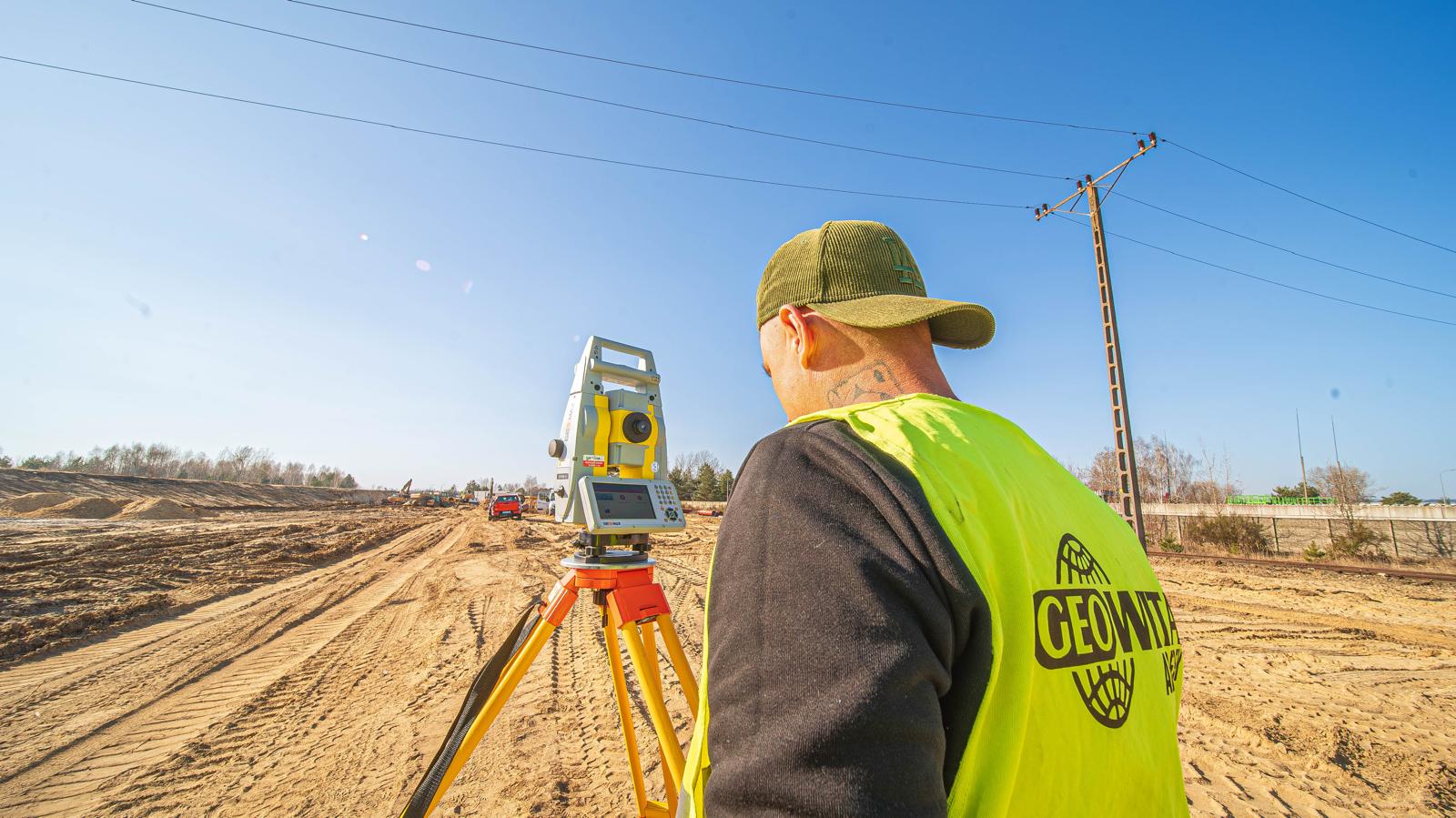
We approach each surveying project individually, tailoring the scope of work to the project's needs and client expectations. Whether it's a map for design purposes, building staking, or plot division, we always provide professional advice and clear terms of cooperation.
We prioritize efficient communication and the fastest possible turnaround time for surveying services. We also explain the various stages of the project, assist with formalities, and answer all questions related to the surveying process. This allows the client to have full control over the project and monitor its progress.
We provide surveying services for individual clients and companies.
We treat each order as another investment, which is why we carry it out with the utmost precision and professionalism.
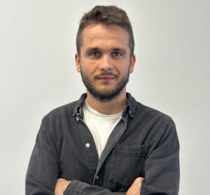
Our Geowita team
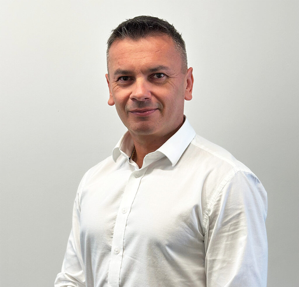
Łukasz Aderek
CEO
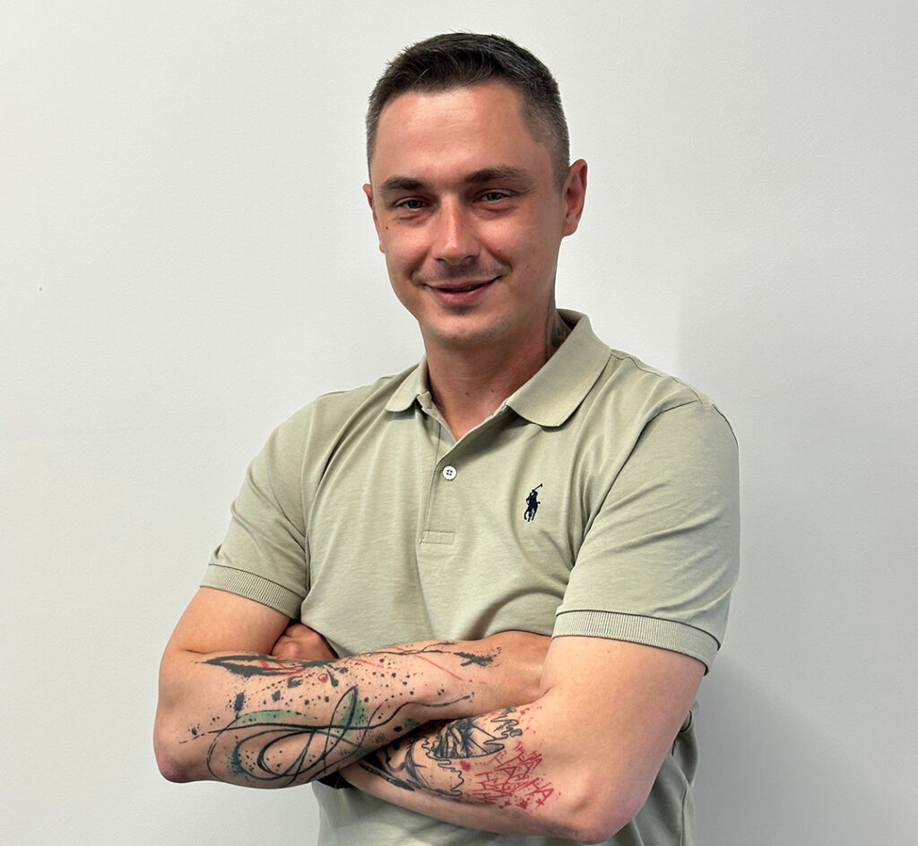
Michał Prokop
Manager
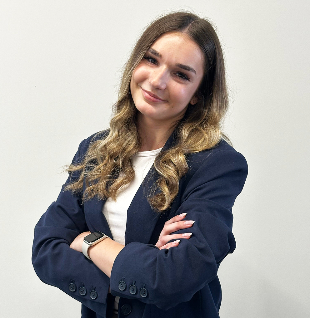
Karolina Kośla
Customer Service and Office Administration Specialist
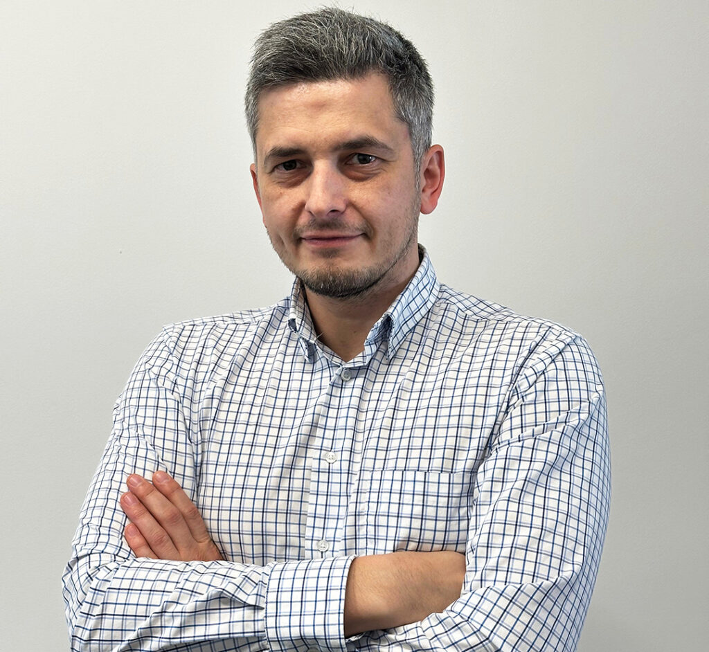
Szymon Jagiełło
3D specialist
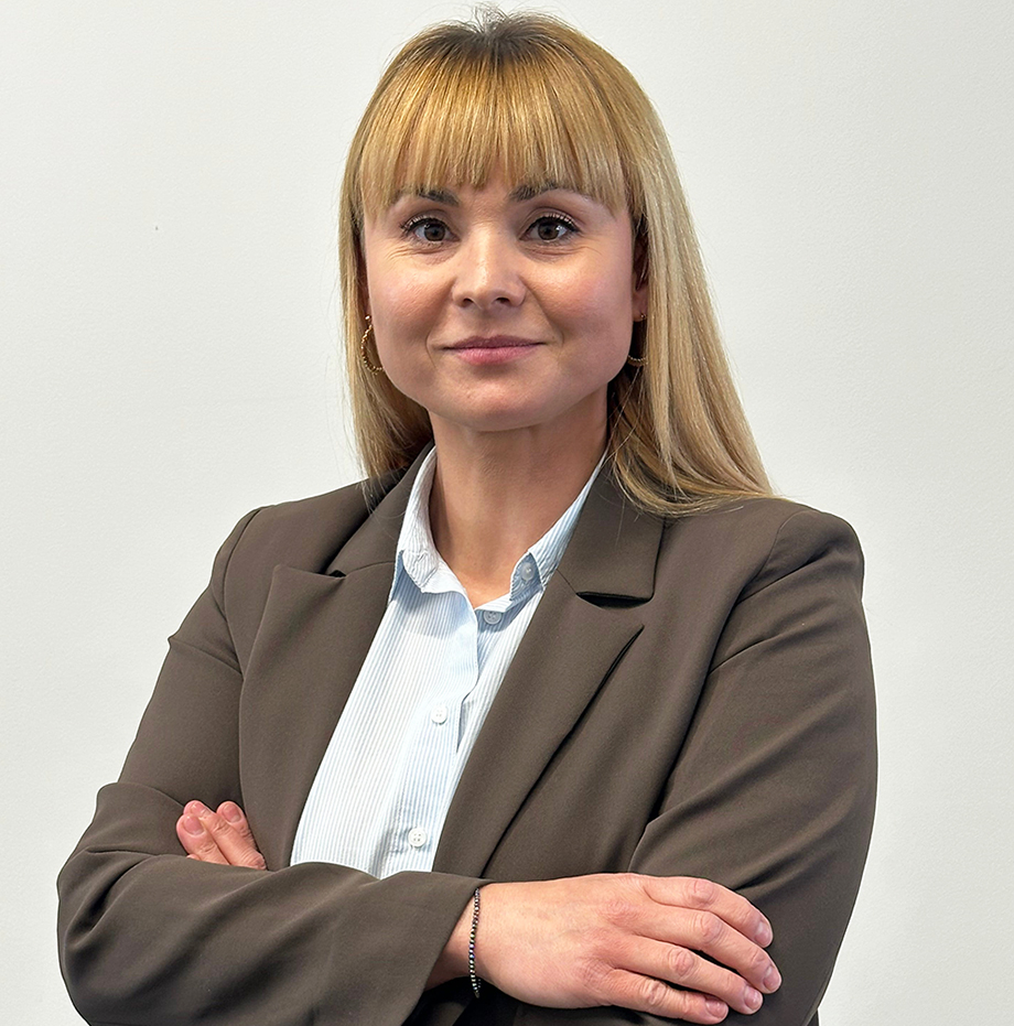
Małgorzata Figarska
Specialist in legal and geodetic documentation
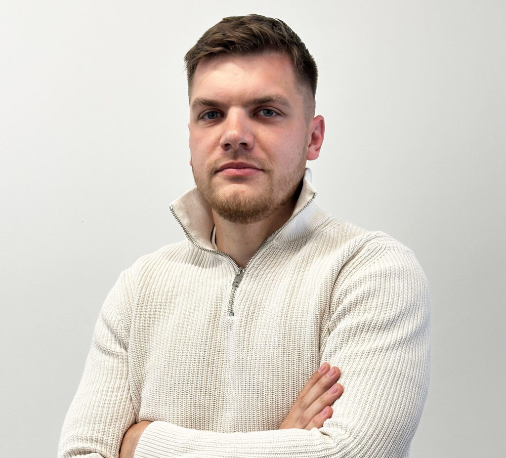
Kacper Kupis
Geodetic Measurement Specialist
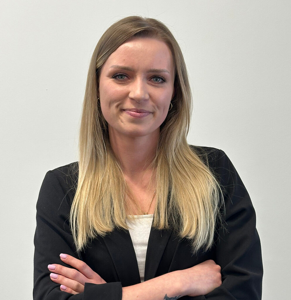
Olga Witek
Specialist in legal surveying and land records